
Looking Up Your Milford Neighbors
A block lookup should begin with what each source can show. Milford's GIS parcel layer defines spatial neighbors. The assessor card identifies a tax-record owner and address fields. The official street list normalizes a name. Voter lookup can test one exact person, but it does not browse a block. Historical directories, newspapers, town records, and community collections add past or cultural context.
| Source | What it shows about a block | Access |
|---|---|---|
| MapXpress GIS parcel layer | Touching lots, frontage, polygons, and map layers | Public interactive viewer |
| MapXpress assessment cards | Owner, MBL, situs, mailing, value, building and lot fields | Public property search |
| Milford street list and map | Canonical street spelling and broad orientation | City website and PDF map |
| Voter lookup | One exact name and town registration or polling result | State form, no street browse |
| Historical sources | Past households, buildings, photos, maps, notices and civic names | Library, Society, archives and microfilm |
| District and map layers | Voting, school, zoning, flood, wetlands, sewer and historic context | Milford GIS and map hub |
The block result should identify whether a parcel shares a boundary, lies across a public street, or is simply nearby. That label is more precise than calling every nearby owner a neighbor.
Define a Milford Neighbor by Parcel Geometry
The Milford MapXpress GIS viewer provides the closest official meaning of neighbor. A target parcel can touch another lot, face it across a street, share frontage, or sit near it without sharing a boundary. Use map geometry for that first definition. A name on an assessment card is a separate owner-of-record field, not evidence of a personal relationship.
- Adjacent
- A parcel whose mapped boundary touches the target parcel.
- Opposite frontage
- A parcel across a public street or road from the target.
- Nearby
- A parcel close to the target but not necessarily touching or facing it.
- MBL
- The municipal map, block, and lot style identifier used to keep parcel notes apart.
- Layer
- A GIS information set, such as zoning, flood, wetlands, sewer, or aerial imagery, displayed over the parcel map.
The map gallery and data-download notes say GIS material is supplied for map and property use and should be read with its disclaimers. A GIS click is not a boundary survey or a statement of occupancy.
Click Milford's Neighbor Parcels
A repeatable parcel process gives the Milford neighbors search a clear boundary. Begin with an exact address, save the target card, and only then expand the map. Keep the click date and the MBL beside each name.
- Search House No and Street or Parcel Id in MapXpress, then save the target MBL, owner, situs, mailing field, and source date.
- Open the GIS viewer and use parcel info, Zoom In, Pan, and the scale to center the target polygon.
- Click each touching parcel and record its MBL, owner or location link, and whether it is adjacent, opposite-frontage, or merely nearby.
- Use aerial, zoning, flood, wetlands, sewer, historic-district, and district layers to describe context, not personal identity.
- Check each selected parcel in the assessment search and use SearchIQS only when a prior owner or recorded document is the question.
- Use voter lookup for one named person only, and keep historical directory occupants separate from current parcel owners.
The result is a block map with source labels, not an inferred household list. The Milford MapXpress GIS viewer is the source for the parcel clicks. For the whole named street, the Milford by-street workflow handles the broader record chain.
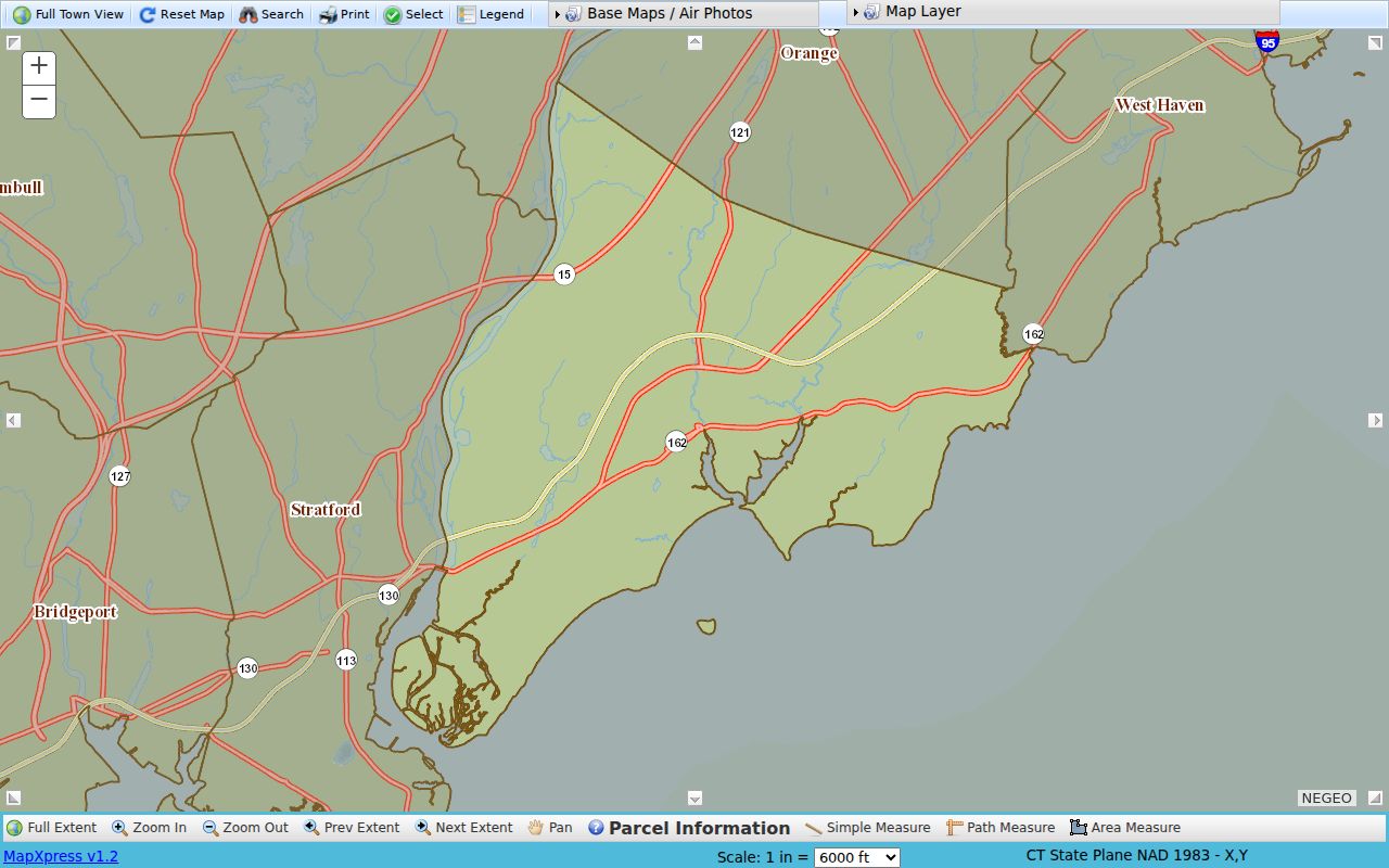
The GIS viewer capture shows the parcel-first approach used to define nearby lots in a Milford block.
Compare Milford Neighbor Assessment Cards
After the map identifies parcels, open the Milford assessor search for each one. The assessment card can show MBL, owner, situs, mailing, values, building characteristics, zoning, sale field, and links to maps. The inspected 0 Burwell and 21 Burwell fields demonstrate why the owner, physical parcel, and mailing destination need separate columns.
| Card field | Safe block-level reading |
|---|---|
| Owner | Name carried on the municipal assessment record for the parcel. |
| Situs or location | Physical address assigned to the mapped parcel. |
| Mailing | Assessment correspondence address, which can be elsewhere. |
| Value and building | Assessment and physical-character fields, not household membership. |
| Sale and book/page | A dated assessment clue that should be checked against the recorded deed. |
The Milford Assessor office page identifies the municipal keeper for the adjacent cards.
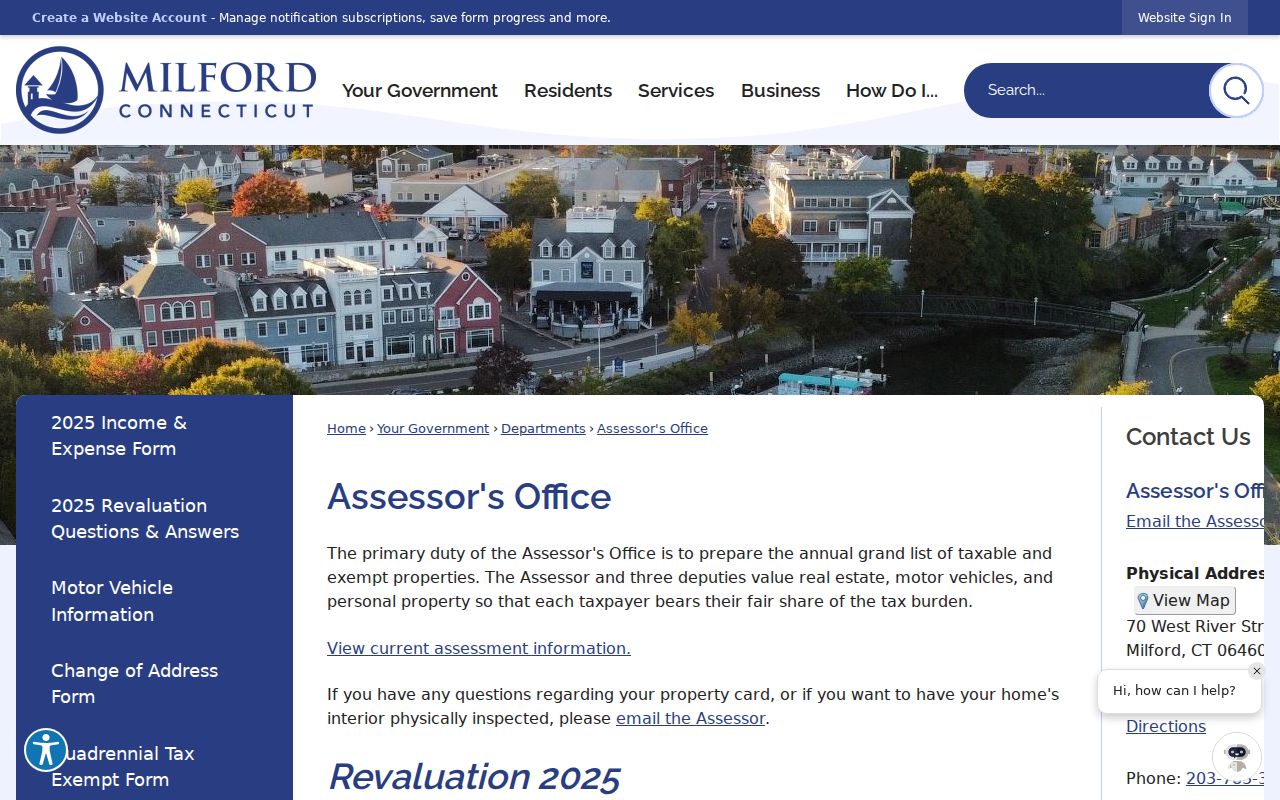
The Assessor capture places the owner, MBL, situs, and mailing fields in their municipal context. The MapXpress map gallery adds revision and disclaimer context for a parcel comparison.
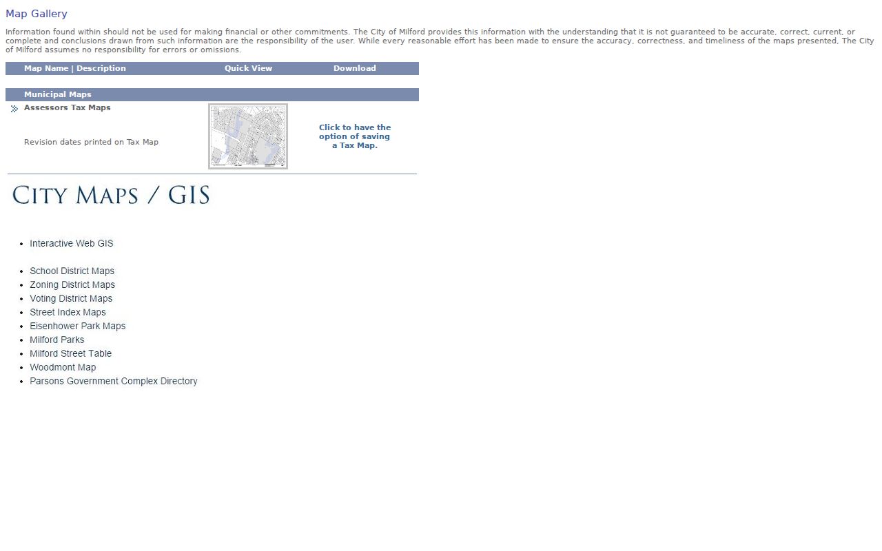
The gallery capture supports a map-aware reading of adjacent lots without turning a tax map into a household list. Do not combine adjacent owner names into a claim that the people share a household, know one another, or currently occupy the parcels.
Map Layers Around a Milford Neighbor Block
Milford's GIS layers make a block more than a set of names. The viewer includes aerial imagery, zoning, flood, wetlands, coastal-area management, historic districts, DEEP environmental layers, groundwater and surface quality, prime farmland, critical habitat, geology, sewer service, FEMA, districts, and planimetric base. Those layers can explain different land context on the same street.
The MapXpress data-download page directs users to the city for requests and describes the data as is. The viewer displays Connecticut State Plane NAD 1983 X/Y, scale, parcel info, and measurement tools. Measurements can describe a frontage or distance, but they do not establish a legal boundary.
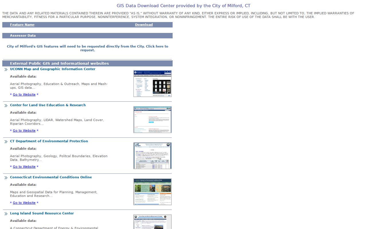
The data-download capture shows why a map layer should be cited as municipal context and paired with an assessment or deed when the claim concerns land.
Milford Neighbor Streets and Districts
The official street list supplies canonical spelling before a parcel search. The City Maps and GIS hub adds voting and legislative maps, school-boundary context, zoning, flood routes, and other geographic links. Milford's borough of Woodmont and village of Devon appear in municipal geography and planning material, but those labels do not create separate resident rolls.
The Connecticut town-document guide explains how annual reports, school reports, class lists, tax and development material, and board or commission names can supplement a block question when an address has a civic history. A town document names its own participants and date. It should not be treated as a current household file.
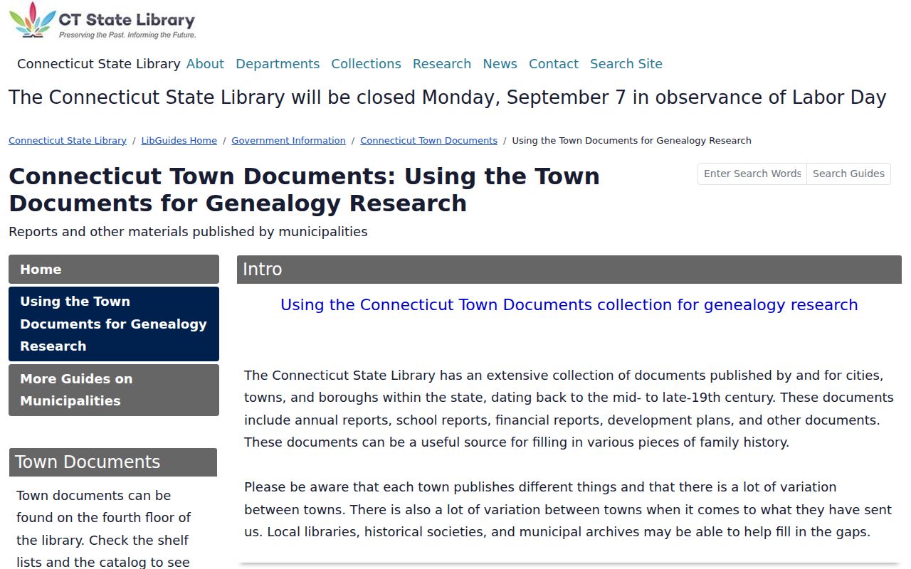
The town-document capture points to historical and civic context that can sit beside, but not replace, the parcel map.
Milford Neighbor Voter Visibility
The Connecticut voter form is exact-name based. Town, Last Name, First Name, and DOB can return a registration or polling result. It does not provide a public street browse, and the statewide file has strict purpose and redistribution limits. A voter result can be stale, a household member may not be registered, and Safe at Home can suppress an actual street address.
Use a voter result only when the question is a single civic confirmation. Do not infer every person on a block from one match. The current state rule leaves birth year public while exempting month and day, and a full file request costs $300 for permitted research purposes. The Registrar of Voters at 203-783-3240 is the local contact for a specific election-record question.
Historic Milford Neighboring Households
Historical sources can show who appeared near a Milford address at an earlier time. City directories may provide an occupant, occupation, residence mark, or street abbreviation. Sanborn maps from 1911, 1920, and 1925 show buildings and nearby structures. Newspapers, Town Records, land records, and the library's microfilm add dates and events. A historical neighbor is a time-labeled clue, not a present identity.
The Milford Historical Society houses and Founding Families material add local context, including 44 founding families, more than 200 photographs, Old Milford Cemetery headstones, and a 56-surname Memorial Bridge list. The collections can explain an old name or house but do not form a complete current block roster.
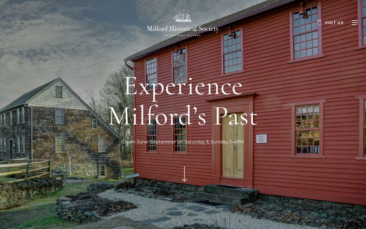
The Historical Society capture connects houses and family collections to a block-history question without claiming a complete directory.
Milford Neighbor Community Collections
No official Milford directory of current neighborhood associations, officers, memberships, or block rosters was located in the research. That absence should remain visible. The City Maps and GIS page is the verified substitute for district geography. The library's BiblioBoard Community Collections and Treasures of Connecticut Libraries can add photos, maps, postcards, films, and local documents. The Historical Society offers houses, family, and artifact context by appointment or discretion.
| Community lead | What it may add | Access note |
|---|---|---|
| Milford Public Library | Directories, newspapers, maps, yearbooks, genealogy and microfilm | Local History Room appointment |
| Historical Society | Historic houses, families, photographs and specialist collections | Seasonal hours and research discretion |
| City Maps and GIS | Voting, legislative, school, zoning, flood and district geography | Official municipal map hub |
| State Library and archives | Town documents, family records, church, probate, military and archival guides | Collection-specific access |
A community mention, photo caption, or organization newsletter can supply a historical lead. Verify a current claim through the named organization or public custodian before placing it in a Milford neighbors list.
Official Milford Parcels or Neighbor Tools
Official parcel and map sources show their keeper, date, field labels, and geographic scope. A compiled neighbor tool may join old public fragments, but its map point, correction process, and date can be hard to verify. Use the official GIS and assessment card for a block definition, then use a historical or civic source only when it answers a separate question.
| Approach | Useful strength | Limit |
|---|---|---|
| Official GIS and assessor | Parcel geometry, MBL, owner, situs, mailing and map layers | Not occupancy or social relationship proof |
| Official voter lookup | One exact town and name match | No public block browse; use restrictions |
| Historical community sources | Past households, buildings, photos and civic context | Dates, gaps, appointments and limited rosters |
| Compiled search category | May surface a lead across public fragments | Mixed dates and uncertain source trail |
Keeping the source categories apart helps the Milford neighbors result stay useful and verifiable.
Privacy Limits on a Milford Neighbor Lookup
A parcel map is public geography, not permission to identify every person nearby. Property cards do not list every household member. Voter records do not expose a complete block. DMV data is not a general source. Safe at Home can hide an actual address, and court, vital, police, and recorded-document rules can limit names or details. Use only the fields needed for the question and keep the source date beside the result.
Lawful personal use. Use Milford neighbor records for parcel curiosity, family history, civic geography, house history, and fraud defense. Do not use a block map or name record to target, threaten, stalk, harass, or harm anyone.
If the goal shifts from nearby parcels to the entire named street, use the Milford street directory route. If the goal is one person, use the resident lookup and report the record source rather than publishing an inferred household connection.